

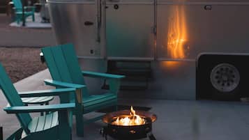
Hoteles con piscina en Alton
 No te preocupes si cambias de ideaReserva hoteles con cancelación gratuita.
 Escoge lo que tú quierasBusca entre más de un millón de alojamientos de todo el mundo.
Hoteles con piscina en Alton: consulta la disponibilidad
Esta noche
Mañana
Este fin de semana
Próximo fin de semana
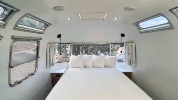
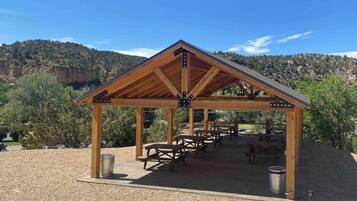
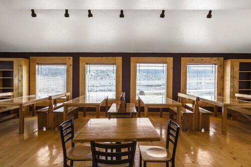
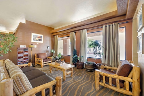
Nuestros mejores hoteles en Alton con una piscina


8.0 sobre 10, Muy bueno, (1.008 comentarios)
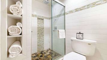
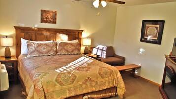
"Habitación amplia buena calefacción buena ubicación cerca del parque.
Hay parqueadero y ambiente tranquilo. "

CESAR
El precio actual es de 70 €
incluye tasas e impuestos
Del 12 jul al 13 jul


9.2 sobre 10, Impresionante, (1.004 comentarios)
"Habitacion cómoda y limpia. "
Carlos M
El precio actual es de 112 €
incluye tasas e impuestos
Del 13 jul al 14 jul


9.6 sobre 10, Excepcional, (87 comentarios)
"We enjoyed our stay at Arrowhead Cabins. The owners are very sweet and helpful. The location was great for seeing the National Parks nearby. Callie and Laura were very informative on things in the area even pointing us to a unique "Americana" museum that was with the stop. Working farm gave us fresh hard boiled eggs each morning along with baked goods."

Patti
El precio actual es de 180 €
incluye tasas e impuestos
Del 15 jul al 16 jul


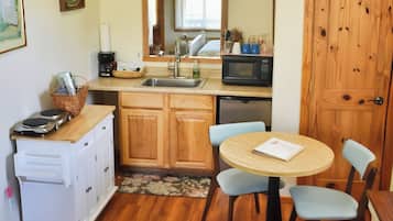
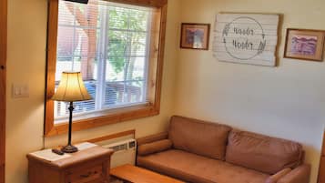
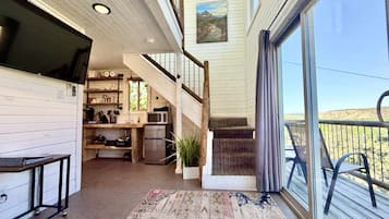
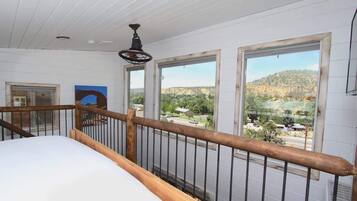
Cabin on the Farm -Pool - Hot Tub -Breakfast -Quiet Side of Zion -Near Bryce NP
Cabin on the Farm -Pool - Hot Tub -Breakfast -Quiet Side of Zion -Near Bryce NPMount Carmel
10.0 sobre 10, Excepcional, (4 comentarios)
El precio actual es de 196 €
incluye tasas e impuestos
Del 12 jul al 13 jul


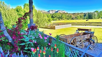
White Cliffs are Truly a Glorious Sight -Pool -Hot Tub-Breakfast-Farm-Zion/Bryce
White Cliffs are Truly a Glorious Sight -Pool -Hot Tub-Breakfast-Farm-Zion/BryceMount Carmel
10.0 sobre 10, Excepcional, (2 comentarios)
"Great location to visit Bryce and Zion! Hosts were communicative and easy to work with regarding details. Loved the property! It's the quiet side of Zion, but perfect after a few long days of hiking. Breakfasts were a lovely addition. "
Julia F.
El precio actual es de 198 €
incluye tasas e impuestos
Del 12 jul al 13 jul

Country Cabin - Pool - Hot Tub -Breakfast -Farm -Quiet Side Zion -Near Bryce NP
Country Cabin - Pool - Hot Tub -Breakfast -Farm -Quiet Side Zion -Near Bryce NPMount Carmel
10.0 sobre 10, Excepcional, (5 comentarios)
"Loved this place. Most comfortable bed, shower was awesome. The bakery breakfast, so good. Fresh eggs every day. Friendly cat joined us on our morning walks. We would site see during the day and come back to the hot tub and sit on the porch. Amazing stay. "
Melody T.
El precio actual es de 205 €
incluye tasas e impuestos
Del 11 jul al 12 jul


Welcome! Pool - Hot Tub - Breakfast -Farm -Cabin -Views -Quiet Side Zion -Bryce
Welcome! Pool - Hot Tub - Breakfast -Farm -Cabin -Views -Quiet Side Zion -BryceMount Carmel
10.0 sobre 10, Excepcional, (3 comentarios)
"Everything was perfect, quiet, clean, homemade pastry, fresh eggs! Kindest people ever! Can’t say enough about the friendliness!!! . "
James t.
El precio actual es de 203 €
incluye tasas e impuestos
Del 11 jul al 12 jul

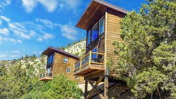
Tree Top # 3 en East Zion Resort
Tree Top # 3 en East Zion ResortOrderville
10.0 sobre 10, Excepcional, (13 comentarios)
"5star all the way around. Great host and property."
scott
El precio actual es de 268 €
incluye tasas e impuestos
Del 12 jul al 13 jul


Precio más bajo por noche encontrado en las últimas 24 horas para una estancia de 1 noche y 2 adultos. Los precios y la disponibilidad están sujetos a cambios. Pueden aplicarse términos y condiciones adicionales.
Mejores comentarios sobre hoteles en Alton
Quality Inn Panguitch near Bryce Canyon
10/10 Excelente
Best Western East Zion Thunderbird Lodge
10/10 Excelente