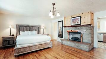
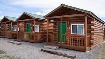
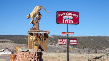
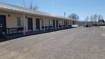
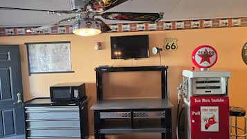
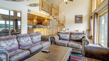
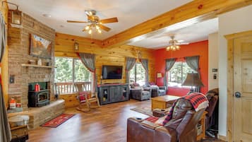
Cosas que hacer en Alton
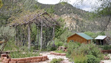
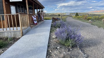
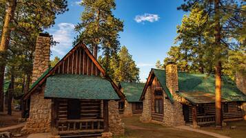
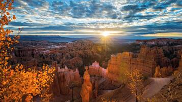
Alton, Utah, ofrece una escapada deliciosa para los entusiastas del aire libre, con emocionantes aventuras y paisajes impresionantes. Los visitantes pueden disfrutar de actividades como esquiar en las estaciones de esquí locales, explorar áreas recreativas y embarcarse en viajes turísticos. Con atracciones locales como campos de golf y varias opciones de camping, Alton es perfecto para aquellos que buscan tanto relajación como aventura en un entorno pintoresco.
Compras
La experiencia de compras más cercana se encuentra en los mercados locales, donde puedes encontrar artesanías y souvenirs únicos. Si te apetece conducir, visita el Cedar City Town Center, a unos 48.3 km de distancia, que cuenta con una variedad de tiendas, incluyendo minoristas de moda y boutiques de regalos.
Recreación
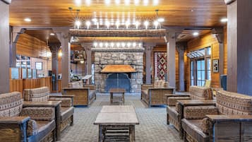
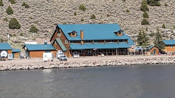
Alton Wellness Retreat ofrece un entorno tranquilo y terapias holísticas, perfecto para la relajación y el rejuvenecimiento. Disfruta de sesiones de yoga, meditación y tratamientos de spa en medio de impresionantes paisajes naturales. Para divertirte al aire libre, explora los senderos para caminatas cercanos, los lugares de pesca y las vistas impresionantes, asegurando una mezcla satisfactoria de bienestar y aventura.
Aventura
Explora los impresionantes paisajes del Parque Nacional Zion, donde senderos como Angels Landing ofrecen vistas impresionantes y alturas emocionantes. Para una experiencia única, prueba el barranquismo en los cañones ranura, navegando por pasajes estrechos y vibrantes formaciones rocosas que te dejarán asombrado.
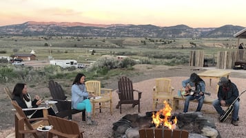
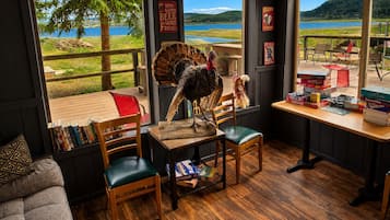
Vida nocturna
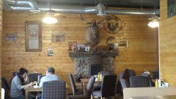
En Alton, la escena de pubs locales ofrece un ambiente encantador con música en vivo y charlas amigables. Los pueblos cercanos cuentan con pintorescos bares y restaurantes, perfectos para una velada relajada. No te pierdas los eventos ocasionales al aire libre que muestran el talento local bajo las estrellas.
*Las distancias se miden en línea recta; las distancias reales de conducción pueden variar dependiendo de la ruta.